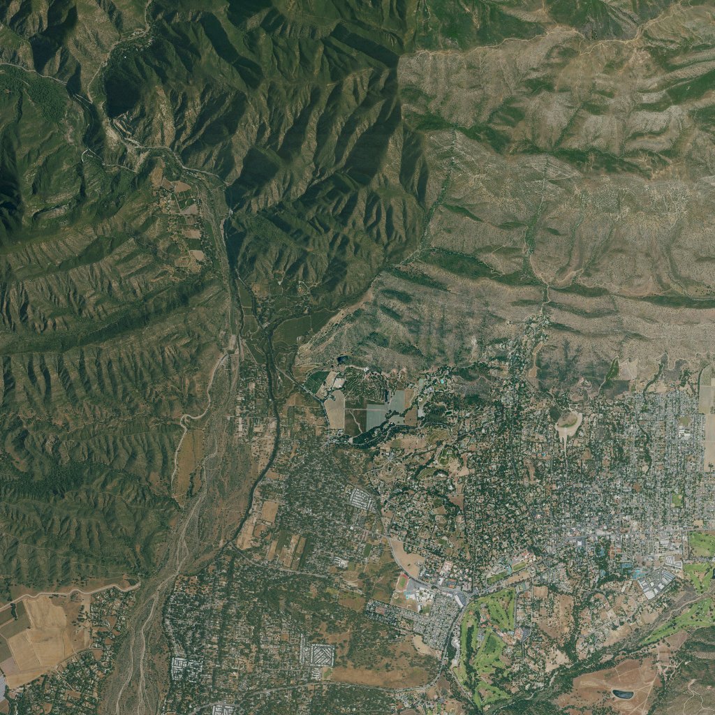
OJAI-COMP-001 / Retained terrain
Ojai → CA-33
One place. One frozen input. A result you can reproduce.
spacetime.benchmark.v1Real-data local benchmark; injected faults tested separately
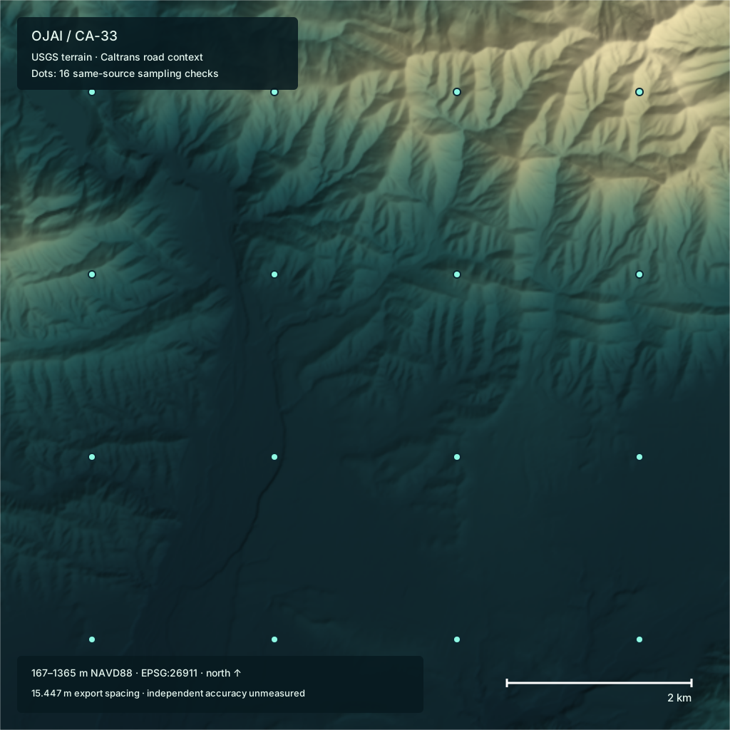
Compiled terrain pack
Local lookup p95
Finite source cells
Serialization difference
A real-data software benchmark. Independent survey accuracy and field navigation remain unmeasured.
Representation / Trade-off
Fidelity versus size.
Coarser grids use fewer height samples. How much terrain detail does that remove?
A 128 × 128 grid retains 6.25% of the source height samples, with 3.94 m RMS deviation after reconstruction.
Compared with the retained 512 × 512 raster, not surveyed ground truth. These coarser grids are presentation representations.
Inspect fidelity results ↗| Grid | Fewer samples | RMS m | Absolute p95 m | Absolute max m |
|---|---|---|---|---|
| 256 × 256 | 75% | 1.63 | 3.66 | 16.24 |
| 128 × 128 | 93.75% | 3.94 | 8.92 | 33.67 |
| 64 × 64 | 98.4375% | 8.78 | 19.86 | 54.10 |
| 32 × 32 | 99.6094% | 18.09 | 40.94 | 105.44 |
Method / Evidence
Follow the result
back to its inputs.
Keep the task, data, runtime and timing boundary attached to every measurement.
| Measurement | Result | What it measures |
|---|---|---|
| Compiled terrain pack | 1.0008 MiB | 1,049,378 bytes: explicit metadata and 262,144 Float32 heights. |
| Local lookup p95 | 1.356 µs | 10,000 warm in-memory bilinear lookups; per-call timer included. Not end-to-end SDK, network, browser or device latency. |
| Finite source cells | 100 % | 262,144 of 262,144 retained cells finite. This is grid completeness, not mission or sensor coverage. |
| Serialization difference | 0 m | Maximum absolute difference across all retained Float32 cells after pack decode. This is exact serialization, not ground accuracy. |
Data and runtime
Export spacing describes this retained grid. It is not a claim about native source resolution or spatial accuracy.
Reproduce this run
Extract the reproduction bundle, then run from its root:
node scripts/benchmarks/run.mjs --output /tmp/spacetime-ojai-reproThe command uses retained inputs. Review the source manifest and result definitions before comparing a new run.
Failure and policy checks
Injected faults and stricter policies exercise specified software behavior. The unknown-acquisition-date case uses the actual source limitation. These checks do not estimate field reliability.
- Corrupted bytesblocked
Injected bit flip fails expected SHA-256 before sampling.
- Wrong horizontal frameblocked
Injected incompatible frame is refused; runtime does not guess a projection.
- Wrong vertical datumblocked
Injected unresolved height reference is refused.
- Stale receiptblocked
Injected stale retrieval receipt fails the declared 30-day test policy; this is not a source-acquisition freshness claim.
- Unknown acquisition dateblocked
Actual mixed-mosaic acquisition date is unknown; strict known-capture-date policy refuses it.
- Incorrect payload identityblocked
Injected lineage mismatch is refused even with a recomputed outer digest.
- Outside coverageblocked
Out-of-extent query returns unknown; no extrapolation.
- Invalid coordinateblocked
Nonfinite coordinate returns unknown.
- Missing terrain cellblocked
Injected missing cell returns unknown; validity is preserved.
Scope and remaining evidence
- No independent surveyed control or field navigation validation. Absolute terrain accuracy and positioning integrity are not established.
- The export samples a mixed-resolution USGS mosaic at 15.447 m spacing; spacing is not native source resolution or accuracy.
- Acquisition date is not established per pixel. Retrieval time is not capture time; terrain is not current-conditions evidence.
- EPQS comparisons use the same USGS source family and compare sampling behavior, not independent accuracy.
- Injected faults test declared software behavior; they do not establish real-world detection rates or an integrity guarantee.
- Timing measures warm local numeric lookups and in-memory encoding on the recorded host; it excludes download, reprojection, source decoding and real-world data admission.
- Offline evidence is capability-isolated local replay, not a disconnected physical-device or navigation test.